

How to homeschool in Montana


Montana homeschooling laws and options
We have done our best to ensure the accuracy of this information, however it should not be interpreted as legal advice. It is your responsibility to interpret and understand the laws that you will be homeschooling under.
How to homeschool with Time4Learning in Montana
FPO lifestyle image


Montana's high school graduation and diploma requirements

Montana's standardized test requirements for homeschoolers

Applying to college as a homeschooler in Montana

Using an ESA for homeschool financial aid in Montana
Lessons that grow with them

Preschool Curriculum
$39.95 / Month
Kindergarten Curriculum
$39.95 / Month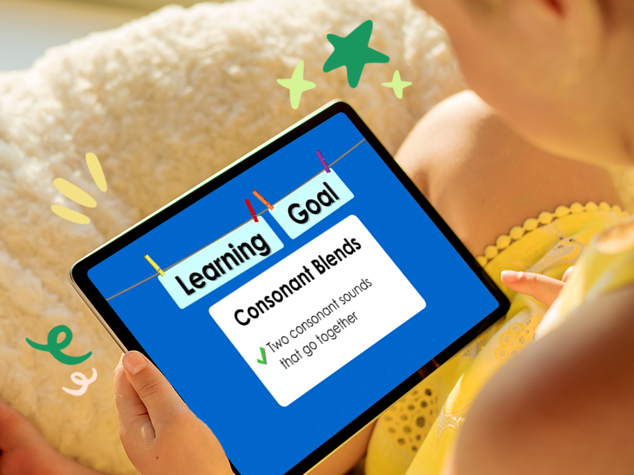
First Grade Curriculum
$39.95 / Month
Second Grade Curriculum
$39.95 / Month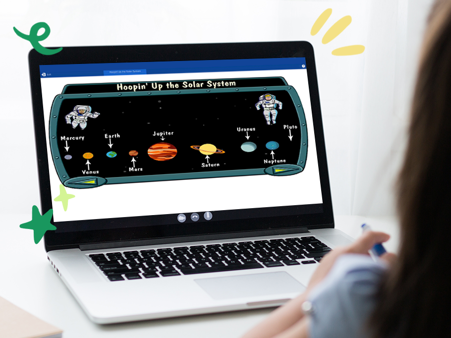
Third Grade Curriculum
$39.95 / Month
Fourth Grade Curriculum
$39.95 / Month
Fifth Grade Curriculum
$39.95 / Month
Sixth Grade Curriculum
$39.95 / Month
Seventh Grade Curriculum
$39.95 / Month
Eighth Grade Curriculum
$39.95 / Month
Ninth Grade Curriculum
$39.95 / Month
Tenth Grade Curriculum
$39.95 / Month
Eleventh Grade Curriculum
$39.95 / Month
Twelfth Grade Curriculum
$39.95 / Month